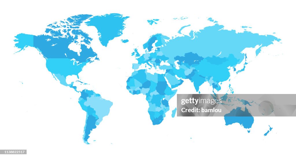
Map World Seperate Countries Light Blue - Ilustração de stock
Vector of highly detailed world map - each country outlined and has its own labeled layer
- The url of the reference file is : http://www.lib.utexas.edu/maps/world.html
- 1 layer of data used for the detailed outline of the land

COMPRAR UMA LICENÇA
Todas as licenças royalty-free incluem direitos globais de utilização, proteção abrangente e preços simples com possibilidade de descontos de volume
475,00 €
EUR
DETALHES
Crédito:
Creative nº:
1138822517
Tipo de licença:
Coleção:
DigitalVision Vectors
Tamanho máx.:
6730 x 3600 px (56,98 x 30,48 cm) - 300 dpi - 6 MB
Data do upload:
Local:
Canada
Inf. sobre autorização:
Não é necessária uma autorização
Categorias:
- Mapa do Mundo,
- Mapa,
- Vetor,
- País - Área geográfica,
- Contorno,
- Planeta Terra,
- Continente - Área geográfica,
- Azul,
- Planeta,
- América do Norte,
- Europa - Locais geográficos,
- Ilustração,
- Ásia,
- Cartografia,
- Geografia Física,
- Oceano Pacífico,
- África,
- Austrália,
- Canadá,
- Primeiro plano,
- América do Sul,
- Clip Art,
- Oceano Atlântico,
- Símbolo de ícone,
- Figura para recortar,
- Horizontal,
- Mar,
- Símbolo,
- Terra,
- Água,